West Highland Way Route & Stats

The green line on the map above shows the exact GPS route we have cycled. The pins on the map show our final destination for each cycling day. You can click on a pin to see the date we cycled.
Our West Highland Way Hike
After the World Tour got postponed due to the pandemic and the lockdown restrictions finally eased we were eager to get out and do something adventurous.
We decided it was time to give the West Highland Way a go, Stew had wanted to do the West Highland Way for a couple of years and with us still having good fitness from the cycling trip it felt like a good time to do it.
We were not disappointed! The West Highland Way is nothing short of spectacular, there's something amazing and new to see around every corner. If you're thinking about doing a long multi day hike in the UK then you should defiantly do the West Highland Way.
If you'd like to take a closer look at our route or use it for your plans you can download the .kml file using the button below. You can view this file type in "Google Earth Pro", available here: google.com/earth/versions/
Download our Route for the West Highland WayOur West Highland Way Hiking Stats
4.21 kmph
167.63 km
23.95 km
28.97 km
3,626 meters
559 meters
More West Highland Way Content
If you'd like to see more information about our West Highland Way hike, including our daily social media posts click the button below.
See More of our West Highland Way adventure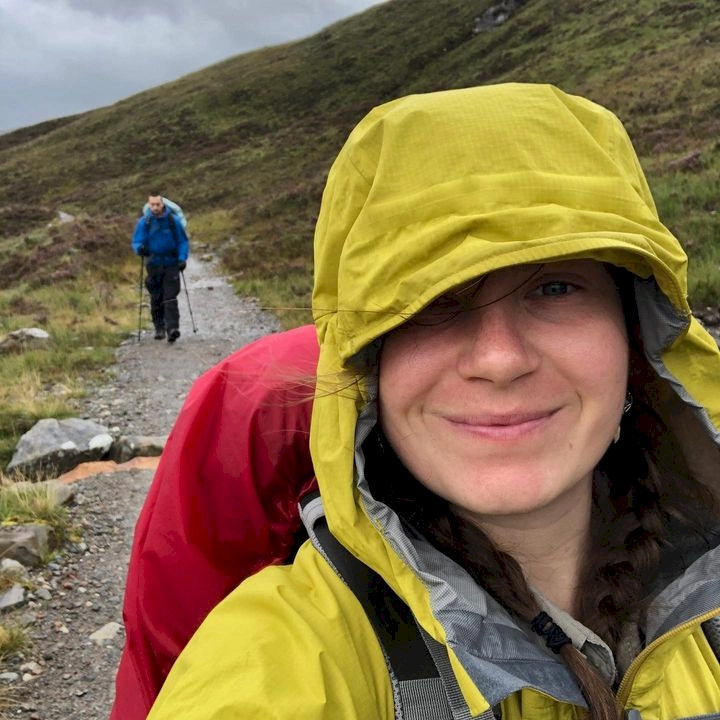
Daily Hiking Activity
Below is a breakdown of our daily hiking activity, you can see our exact route and final destination each day using the map at the top of the page.
| Day | Start/Finish | Distance | Duration | Avg. Speed | Elevation Gained | Elevation Min/Max |
|---|---|---|---|---|---|---|
| 6 |
Glencoe Ski Resort to Kinlochleven 3rd September 2020 |
11.27 miles 18.02 km |
4:38 |
2.43 mph 3.89 kmph |
1,379 ft 420 m |
34 ft / 1,833 ft 11 m / 559 m |
| 5 |
Tyndrum to Glencoe Ski Resort 2nd September 2020 |
18.11 miles 28.97 km |
6:28 |
2.80 mph 4.47 kmph |
2,038 ft 621 m |
511 ft / 1,459 ft 156 m / 445 m |
| 4 |
Beinglas to Tyndrum 1st September 2020 |
12.88 miles 20.61 km |
4:41 |
2.75 mph 4.40 kmph |
1,762 ft 537 m |
55 ft / 1,120 ft 17 m / 341 m |
| 3 |
Rowardennan to Beinglas 31st August 2020 |
13.89 miles 22.23 km |
6:07 |
2.27 mph 3.63 kmph |
1,351 ft 412 m |
53 ft / 354 ft 16 m / 108 m |
| 2 |
Garadhban Forest to Rowardennan 30th August 2020 |
17.35 miles 27.77 km |
6:33 |
2.64 mph 4.23 kmph |
2,256 ft 688 m |
45 ft / 1,156 ft 14 m / 352 m |
| 1 |
Milngavie to Garadhban Forest 29th August 2020 |
15.14 miles 24.22 km |
4:56 |
3.06 mph 4.90 kmph |
1,052 ft 321 m |
75 ft / 475 ft 23 m / 145 m |
Post written by: Stewart
Comments
Ask a question or join the discussion below.
Go back to West Highland Way to see more content like this or checkout similar content below.
Back to West Highland Way
No comments have been made yet, be the first!